|
|
||
|
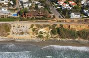
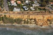
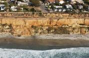
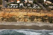
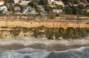
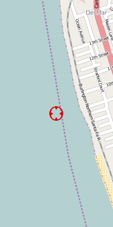
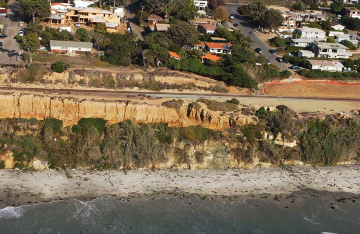
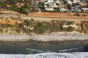
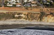
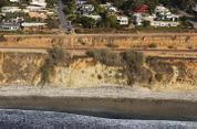
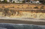
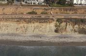
N32 57.12 W117 16.13 Image 9376 Wed Oct 30 13:24:27 2002 | ||
| OpenStreetMaps TopoZone | Nearest caption: Larson's Reef, Del Mar (at Image 9378, 452 ft South) | ||
| Google Satellite MapQuest | Copyright © 2002 Kenneth & Gabrielle Adelman. All rights reserved. | ||
|
|
California Coastal Records Project |
|
|
|
|